
Wildwood Neighbors by Block Source
A public record answers a narrow block question. A county map shows parcel relationships. MyGov can show address- or Property-ID-selected features and city activity. A Recorder plat can show lot, block, outlot, subdivision, and road layout. The Board of Elections provides a defined-file request process, while the trustee directory provides a public association contact for participating subdivisions. Historical library material can supply dated address-to-name clues. None is a complete, current list of Wildwood neighbors.
| Source | What It Shows About a Block | Access |
|---|---|---|
| St. Louis County Property Viewer | Parcel boundaries and map relationships | Official map link; live controls were not rendered in research. |
| Wildwood MyGov GIS | Address or Property-ID-selected features, layers, place information, and activity history | Public map; first 20 results and an unverified layer schema. |
| Recorder plats | Lot, block, outlot, subdivision, and road layout | Recorder search or copy route. |
| County voter file | Authorized output by municipality, ward, precinct, or district | Board of Elections form, fees, and use restrictions. |
| Subdivision trustee directory | Public trustee or association contact for participating groups | Voluntary list, updated monthly. |
| SLCL directories | Historical address-to-name clues | Digital or physical collection; reverse-run gap remains. |
Parcel ownership and occupancy are different facts. A tax or deed record may identify an owner, trust, estate, or mailing contact. A meeting speaker, permit applicant, or trustee can show participation at a date. Those results should not be converted into a claim that a person currently lives at an address or into a published block roster.
Wildwood Neighbors as Geography
In a Wildwood public-record search, neighbor can mean a parcel that borders the selected lot, another property in the same subdivision, a location in the same ward, a shared ZIP, or a site within a historic community. Those are not interchangeable circles. The city is spread across former communities and subdivisions, so a shared postal label may reach another municipality and a historic-community name may not be a legal boundary.
Use a map to establish adjoining parcel geometry. Use the trustee list to find the public association contact for a participating subdivision. Use city minutes or Archive Center documents to identify public action on a street or association issue. The city identifies eleven historic communities, while the Historical Society uses a ten-community description. That discrepancy is worth preserving as a source distinction rather than inventing a single official neighborhood list.
Note: Record whether a result is parcel, ward, subdivision, postal, or historic-community geography before comparing it with a nearby address.
Map Wildwood Neighbors by Parcel
The cautious adjacent-parcel method starts with a single address and follows the map outward. The county Property Viewer is the intended parcel map, although its live controls were blocked during research. Wildwood MyGov GIS was inspectable. It supports address or Property ID search, map layers, place information, activity history, identify, measure, draw, print, extents, and a first-20-record limit. Research did not confirm a dedicated neighbor button or an automatic owner result for adjacent clicks.
- Enter the exact address in Wildwood MyGov GIS, or switch to Property ID if a parcel key is already known.
- Use zoom and extents to frame the selected parcel, then browse the surrounding parcel polygons and read the available place-information or activity pane.
- Follow the official property or parcel link for each relevant polygon, keeping the parcel locator, situs address, legal subdivision, and source date separate.
- Use a Recorder plat or document when lot, block, outlot, or road-layout context is needed. Stop before turning those records into a household list.
For a full named-street record chain, use the Wildwood streets directory. It follows address-keyed sources across a street, while this neighbor lookup stays with the immediate block or subdivision context.
Wildwood Neighbors in MyGov GIS
The Wildwood MyGov GIS module displays the address and Property-ID search modes that support a careful block review. It is a city activity and map tool, not a resident directory. Use the visible map controls to understand the location and then confirm a separate parcel record or recorded document where the question concerns land history.
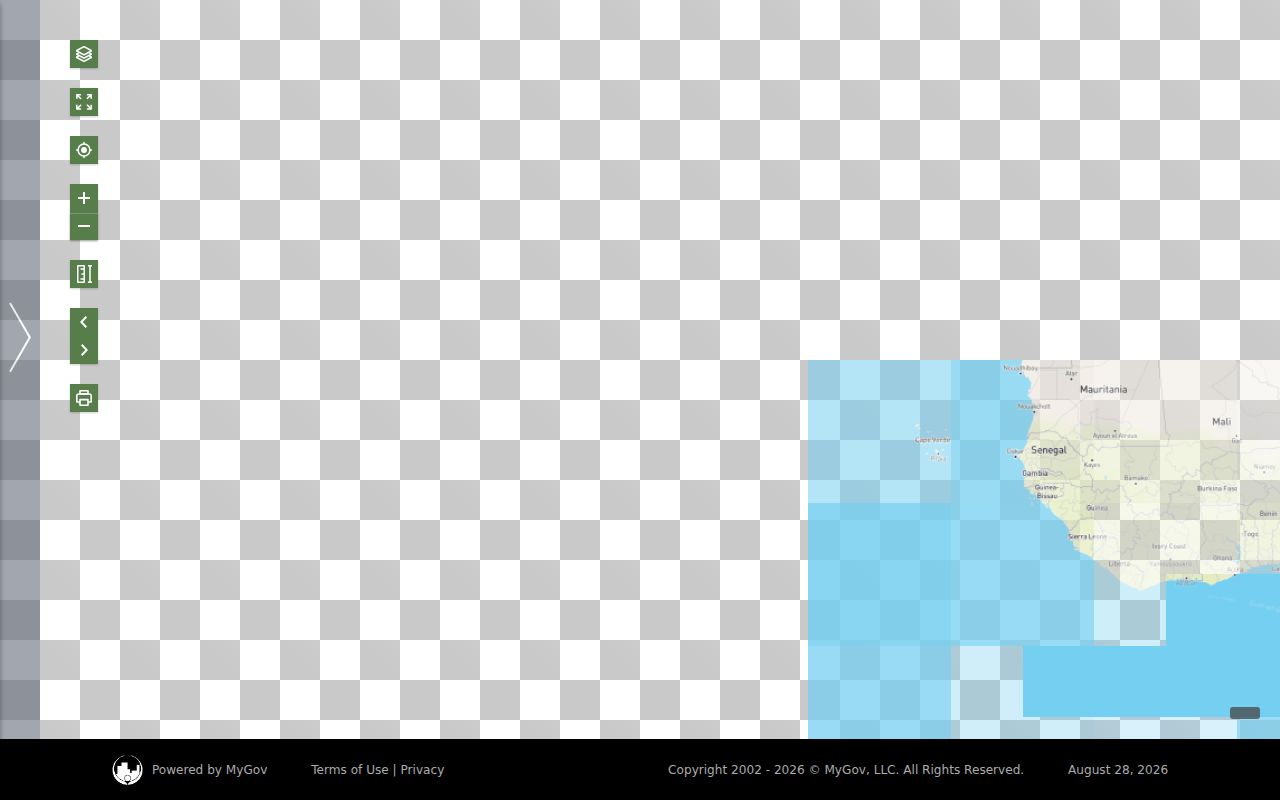
The captured view confirms the two starting modes. It does not prove a full adjacent-parcel owner search, so browse surrounding polygons and use the official property route rather than expecting the map to return every neighbor.
Wildwood Neighbors and Trustee Contacts
The Wildwood subdivision trustee directory is the local public contact layer for association research. It is organized by ward and subdivision, uses information supplied by participating homeowners' associations, is updated monthly, and changes only with permission. It can help identify the association contact for a community issue or public meeting. It is not a membership roll, a current-occupant list, or proof that any trustee owns a property.
| Public Association Lead | Directory Scope | How to Use It |
|---|---|---|
| Allenton Farms, Arbor Chase, Arlington Terrace, and Babler | Participating subdivisions listed by ward | Use the posted trustee contact for association or street-history questions. |
| Fox Creek Valley, Lake Chesterfield, and Villages of Cherry Hills | Voluntary public trustee contact information | Confirm the subdivision on the parcel or map before making contact. |
| Winding Trails and Wildhorse Creek Valley | Permission-based entries maintained as a communications aid | Do not treat the entry as a household roster or ownership record. |
| Trustee submission form | Physical address is retained to confirm residency or direct mail and is not shared | Use only the public contact details intentionally posted by the city. |
The city history material also names civic and association leads including Coalition to Save the Greenbelt, West Chesterfield Citizens for Responsible Development, Wild Horse Creek Valley Association, South Wild Horse Creek Road HOA, BRPA, and Northwest Jefferson County Greenbelt Communities. The inspected material does not publish a complete membership roster for them. City Neighborhood Watch material is an archive category, not an open membership database.
Wildwood Neighbors and City Activity
The broader Wildwood MyGov portal provides public routes to permits, requests, GIS, Address Lookup, and knowledge material. Its Address Lookup is described as finding activity at a location. City staff review zoning while St. Louis County administers plan review and inspections, so a permit trail is a hybrid city-county record path. Presence of activity is stronger evidence about an address than about a current resident.
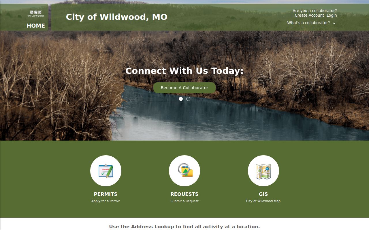
The portal view shows the city-facing entry points that can supply an address or project lead. Retention periods and the complete activity schema were not stated in the reviewed materials, so preserve the date of any result and inspect the underlying record.
Wildwood Neighbors and Voter Records
Missouri voter information is governed by a separate rule set. The county Election Information Search Form allows requests by municipality, ward, precinct or township, school, fire, county council, legislative, senate, congressional, or county-wide geography. It does not promise a free ZIP or street-radius search. Active voters are supplied by default unless otherwise designated, and address and ZIP can be output fields in an authorized file.
The form lists fees and requester details, while Missouri law treats voter-file use and protected addresses separately. Section 115.157 describes public computerized-file fields and recognizes protections for certain voters. A voter entry is time-stamped civic information, not continuous residence proof. Keep sensitive identifiers out of any public notes, and use the file only within the statutory and form-based limits.
| Official Record Route | What It Can Do | Commercial Neighbor Category |
|---|---|---|
| Parcel maps, Recorder documents, city records, and defined election files | Show a source, field, date, and official access condition | May combine records without showing the original source, date, or boundary logic. |
| Public association contact | Routes a question to a participating subdivision's listed contact | Cannot establish a current household or association membership. |
The official route is slower because each source has a defined scope. That scope is useful: it reveals whether the result is a parcel relationship, recorded instrument, public association contact, or election geography rather than presenting a single unsupported answer about neighbors.
Wildwood Neighbors in Historic Communities
Historic communities and site records add context without naming a present household. Wildwood's Historic Preservation Plan, markers, and commission material can connect a parcel or road to a named community, historic building, event, or period. A site can be checked against the updated Historic Building Inventory or a marker, then paired with the city history book, library, or Historical Society for older context. That is a site-history lens, not an occupant directory.
The city highlights eleven historic communities, including Centaur, Fox Creek, Glencoe, Grover, Hollow, Kelpe, Melrose, Monarch, Orrville, Pond, and Westland Acres. The Historical Society's ten-community description differs. Historic Route 66 and Manchester Road through Town Center are also useful place clues. Treat those names as search terms in records and histories, then confirm legal geography through the parcel, plat, city map, or city boundary field.
Wildwood Neighbor Privacy Limits
Some address information is intentionally protected. Missouri Safe at Home gives eligible residents who fear harm a designated address for new public records, and agencies are expected to accept it. Never try to reverse a designated address into a physical location. Voter addresses may also be protected under section 115.157. Closed records, active-investigation material, and certain victim or protected-person information can have different access rules.
Use the minimum field needed: a source office, document type, date, parcel locator, or public association contact can be enough. Do not copy a full private address history, date of birth, voter identifier, phone number, or email merely because a record source might contain it. A correction or safety concern should go to the originating custodian or an appropriate advocate, not become a reason to collect more personal detail.